


Geolocation by deduction
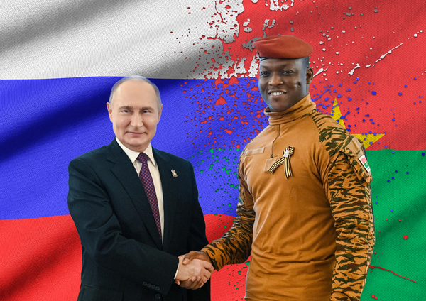
It is crucial to check your sources and know the context of information that we see on the internet. When it comes to an image, it can be relatively simple to make a geolocation by deduction. Just identify clues that characterize the image and type these keywords in the search bar. Useing logical and reasoned indices is therefore the first option to geolocate an unknown source image.
Be careful, this technique can be double -edged as you have to be vigilant not to try to guess too quickly elements that we think is interesting.
Geolocalize with Google Maps
For more reliable results, use the Google Street View option available on Google Maps. Clock option: Thanks to this option, located at the top left, you can go back in time. This will allow you to see the evolution of a place over time. It is very practical for a very old photo.
Satellite option: bottom left, this option allows you to gain height and observe a place from afar.
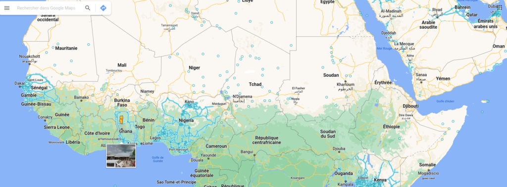
The little yellow character, here inserted in Ghana, allows you to position yourself everywhere on the blue lines. As soon as you let go, you will be immediately immersed in the landscape you want.
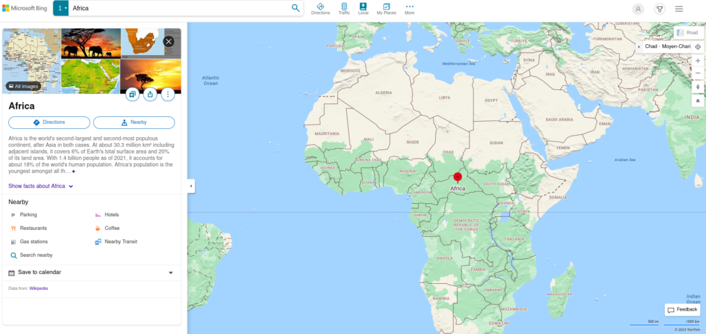
Geolocalize with Bing Maps
It is an online cartography tool that is part of the Bing search engine. This version strongly resembles Google Maps.
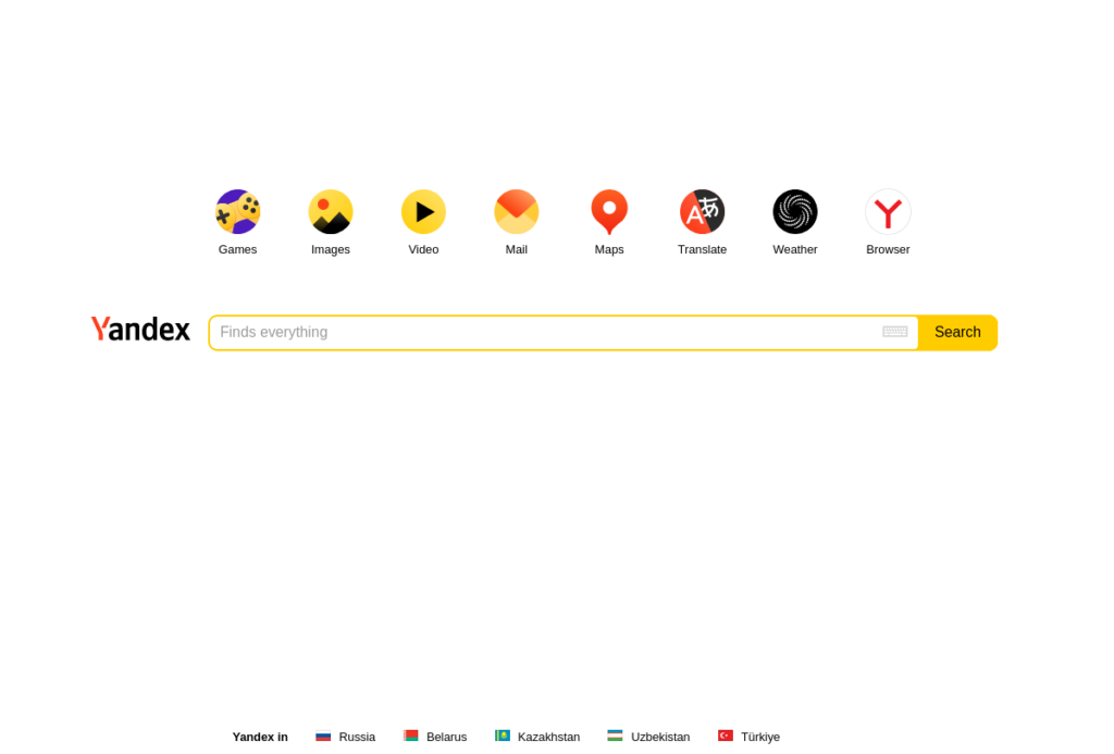
Geolocalize thanks to Yandex
As shown in screenshot below, this search engine is intuitive to geolocate images.
These three tools are very practical for geolocating images and traveling in time. There are others but the most used for all audiences are the three above. Have the reflex when you want to check information illustrated by a photo or when a picture seems suspect. The dissemination of false information is done by words but also by images, often decontextualized. If you want to learn more, you can discover 5 geocization tools on the Internet.